It’s a really supportive group, great to be part of something where there is so much expertise but also a genuine willingness to ask questions and learn from one another.
Alison Sheffield – Resilient Green Spaces / Social Farms & Gardens Wales.
One of the early stumbling blocks to getting food projects up and running is that land availability and suitability is not known.
Many local and regional authorities don’t themselves have a full picture of their land assets, and in the majority of cases, this information isn’t up to date or publicly accessible in a user-friendly or timely way.
Mapping public land, and its potential for delivering any of the kinds of growing projects we’ve highlighted in our Typology, is a collaborative, unfolding process of gathering and interpreting data, in order to achieve a higher aim or vision, such as delivering on the aim of a city food strategy to eliminate food poverty.
Since July 2021we have been developing a food land mappers community of practice. The group now site on the collaborative platform Hylo. From September 2022, we have started thinking about how to make this mapping expertise more available to those who need it.
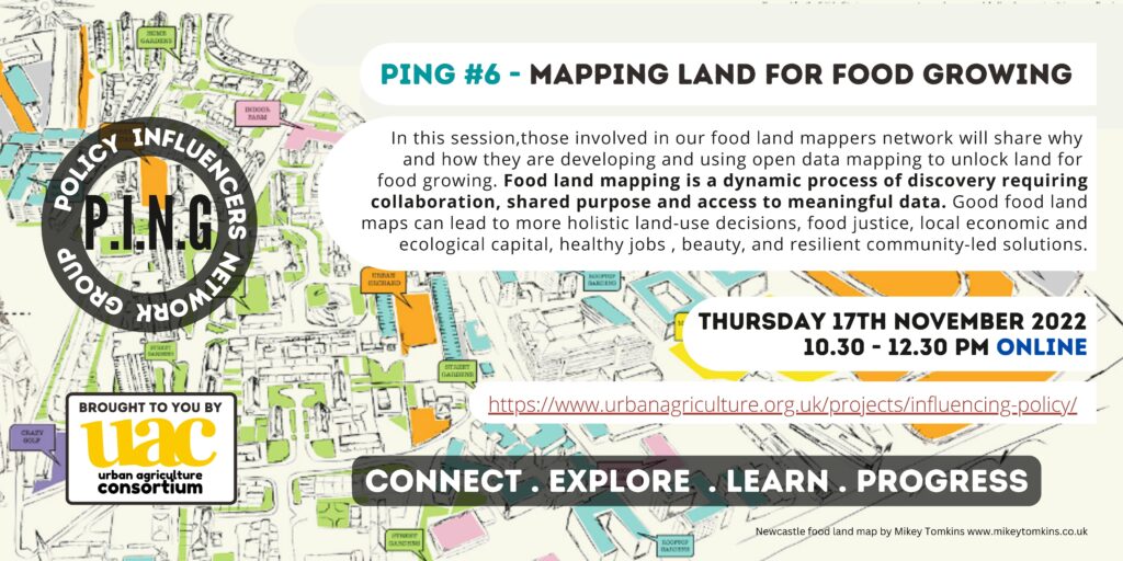
This November, our Policy Influencers Network Group will focus on Mapping. Sign up here: https://www.eventbrite.co.uk/e/mapping-land-for-food-growing-with-uac-mappers-network-tickets-440280529917
A bit of history to this…
Lancaster University’s brilliant Rurban Revolution project secured funding in 2021 to take forward a mapping exercise which is for :
‘Collaboratively developing and trialling a mapping tool that helps identify where urban food projects could deliver health and wellbeing benefits more equitably’.
This is a partnership project between Lancaster University, UAC, Friends of the Earth and Lancaster Food Futures (LESS CIC) with the project coordination and technological mapping expertise brought by Rachel Marshall at Lancaster Uni and Mark Thurstain at Geofutures respectively.
This project extends and develops Geofutures’ Hope Spots mapping pilot in their 2020 collaboration with the Friends of the Earth experiments programme.

How might this, and other mapping work, be replicated in other pathfinder cities such as Sheffield, Birmingham, Oxford and Leicester?
What happens when food land mappers get together.
We need open collaboration to address nutritional, soil and climate emergencies.
In the spring 2021, Janie Bickersteth from Incredible Edible Lambeth and I started talking about our shared interest in mapping and in the potential of Church of England land for regenerative food growing.
She told me about a fascinating mapping project she had been creating in Lambeth with ARUP’s pro bono expertise called ‘Lambeth Plots’.
This resulted in a map created by the local community and an App.

And I told her about the great Hope Spots mapping going on in Lancaster.
So we resolved to bring together these projects, along with Julian of Land Explorer / Shared Assets and colleagues in Wales, to share experiences, approaches and learn from each other.
This is now a UK wide mappers community of practice with contributors from many projects and places, all committed to food sovereignty and open data.
Meeting every few months online, and establishing a project space on Hylo, there is a real excitement to connect with one another to think about how the mapping of land for food could be both bespoke to place and community, and compatible or interconnected.
It was spurred on by our discovery that Knight Frank had mapped all Church of England owned land.
If you’d like to be involved in this, please contact us.
See our Hope Spots blog here.